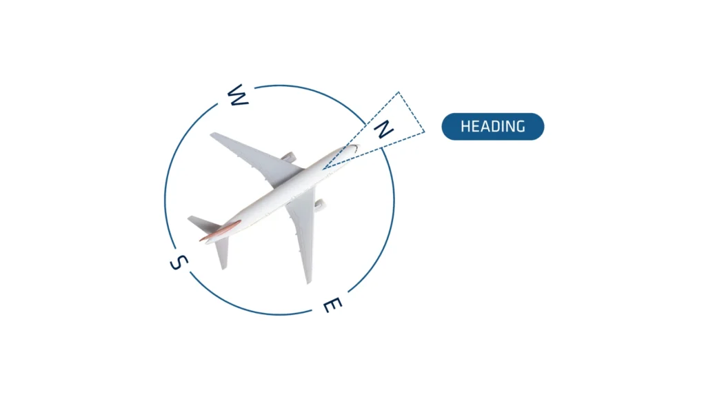
In navigation, heading refers to the direction in which a vehicle or vessel is pointed relative to a reference direction, typically true north or magnetic north. It is expressed in degrees, ranging from 0° to 360°, with 0° (or 360°) indicating true north. Heading is distinct from the course, which is the actual path over the ground, and the bearing, which refers to the direction from one point to another. So it’s important to chose the right heading method.
When no GPS available
In many applications, the magnetometer is the only reliable way to have a good heading observation.
Using magnetometers for heading observation ensures reasonable accuracy when meeting specific conditions.
First, performing a proper magnetic calibration with the sensor installed in its final configuration is essential. This process maps the surrounding magnetic field and accounts for any disturbances near the device.
Additionally, placing the sensor away from internal magnetic interferences—such as switching power supplies, power lines, and magnets—helps maintain accuracy. Finally, operating the sensor in a stable magnetic environment is crucial.
Managing expected short-term magnetic disturbances is feasible, but preventing long-term deviations remains crucial for ensuring reliable performance.
Heading method in automotive applications
Using this mode is only possible when a GPS/GNSS fix is available. This mode implies to have some speed in order to get a heading estimation. It also requires the vehicle to go forward, without any side slip.
For instance, using GPS/GNSS Course on a plane would get a wrong heading if the plane is drifting due to side wind. GPS/GNSS course is recommended for automotive applications.
If high dynamics
Using this mode is only possible when a GPS/GNSS fix is available. It relies only on the GPS/GNSS and inertial sensors, so there is no mechanical or magnetic constraint here.
Heading remains accurate during frequent and significant accelerations, such as turns. However, when the sensor operates at a constant speed or remains stationary, it relies solely on gyroscopes, causing the heading to drift in a purely inertial manner.
If low dynamics
GPS/GNSS True Heading is achieved by using two antennas on the same GPS/GNSS receiver. This method uses two GPS/GNSS antennas to provide position, velocity and a true Heading angle that is valid, even when stationary.
Advantages of dual antenna GNSS:
- Works when stationary: You don’t need to move or to have accelerations
- Calibration-free: You don’t need any calibration, and don’t have to worry about magnetic disturbances
- It is the Most accurate solution
- But it is much more sensitive to GPS/GNSS conditions than single antenna systems. It should be operated in open sky condition for optimal performance.
