LiDAR (Light Detection and Ranging) is a remote sensing technology that measures distances by illuminating the target with laser light and analyzing the reflected light. This process allows LiDAR to precisely calculate the distance between the sensor and the surface, creating a 3D map of the environment. Very versatile, it can operate in various environments, including airborne (mounted on drones, aircraft, or helicopters) or terrestrial (mounted on vehicles, tripods, or handheld devices).
One of the main benefits of LiDAR is its ability to provide highly accurate, three-dimensional data, even in challenging conditions. Unlike traditional methods like photogrammetry, LiDAR works effectively in low-light environments and can penetrate through vegetation to reveal the ground surface beneath. This makes it particularly useful in forests, urban environments, or other obstructed areas where other sensors might struggle to obtain accurate data. Additionally, LiDAR provides real-time data collection, which allows for efficient and detailed mapping, often in a matter of hours depending on the area surveyed.
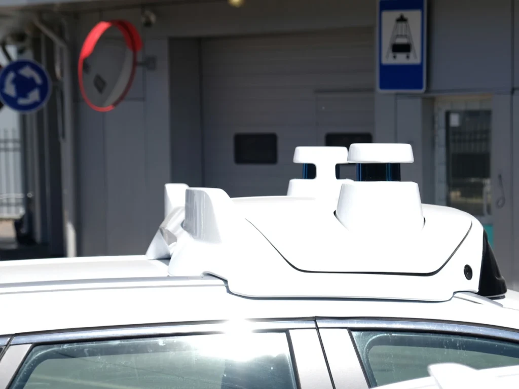
This detection system, which works on the principle of radar, generate point clouds by scanning the surroundings with laser pulses.
What are the applications of LiDAR?
This technology has broad applications across many industries. In geospatial surveying, it helps create detailed topographic maps, measure terrain elevations, and track changes in landscapes over time. For instance, LiDAR is frequently used in civil engineering to plan infrastructure projects like roads, bridges, and pipelines. It enables engineers to analyze landforms and assess the feasibility of construction sites, all with pinpoint accuracy.
In forestry, LiDAR allows for precise measurements of tree heights, canopy density, and forest structure, helping professionals monitor forest health and manage resources effectively. LiDAR also plays a significant role in environmental monitoring, where it is used to study coastal erosion, riverbed changes, or floodplain mapping, providing valuable data for ecological conservation and disaster planning.
Autonomous vehicles and drones also benefit greatly from LiDAR technology. These vehicles rely on LiDAR to build accurate 3D maps of their surroundings, detect obstacles, and navigate in real-time. LiDAR’s ability to scan the environment in detail allows autonomous systems to respond quickly and safely to dynamic conditions.
Furthermore, archaeology and cultural heritage preservation utilize LiDAR to uncover and map hidden structures beneath dense vegetation, like ancient ruins, that would otherwise be impossible to detect with the naked eye. Mapping and navigation systems also leverage this tool for precise positioning and obstacle avoidance in real-time, particularly in areas where GNSS signals might be weak or unreliable.
In summary, LiDAR is an incredibly versatile and powerful tool that provides detailed, accurate, and reliable 3D data across various industries. By offering a deeper understanding of environments and enabling precise measurements, it supports innovation in fields ranging from engineering and forestry to autonomous systems and archaeological discovery.
