Formula Student Electric
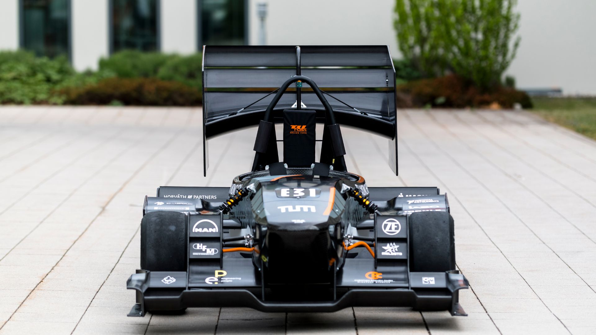
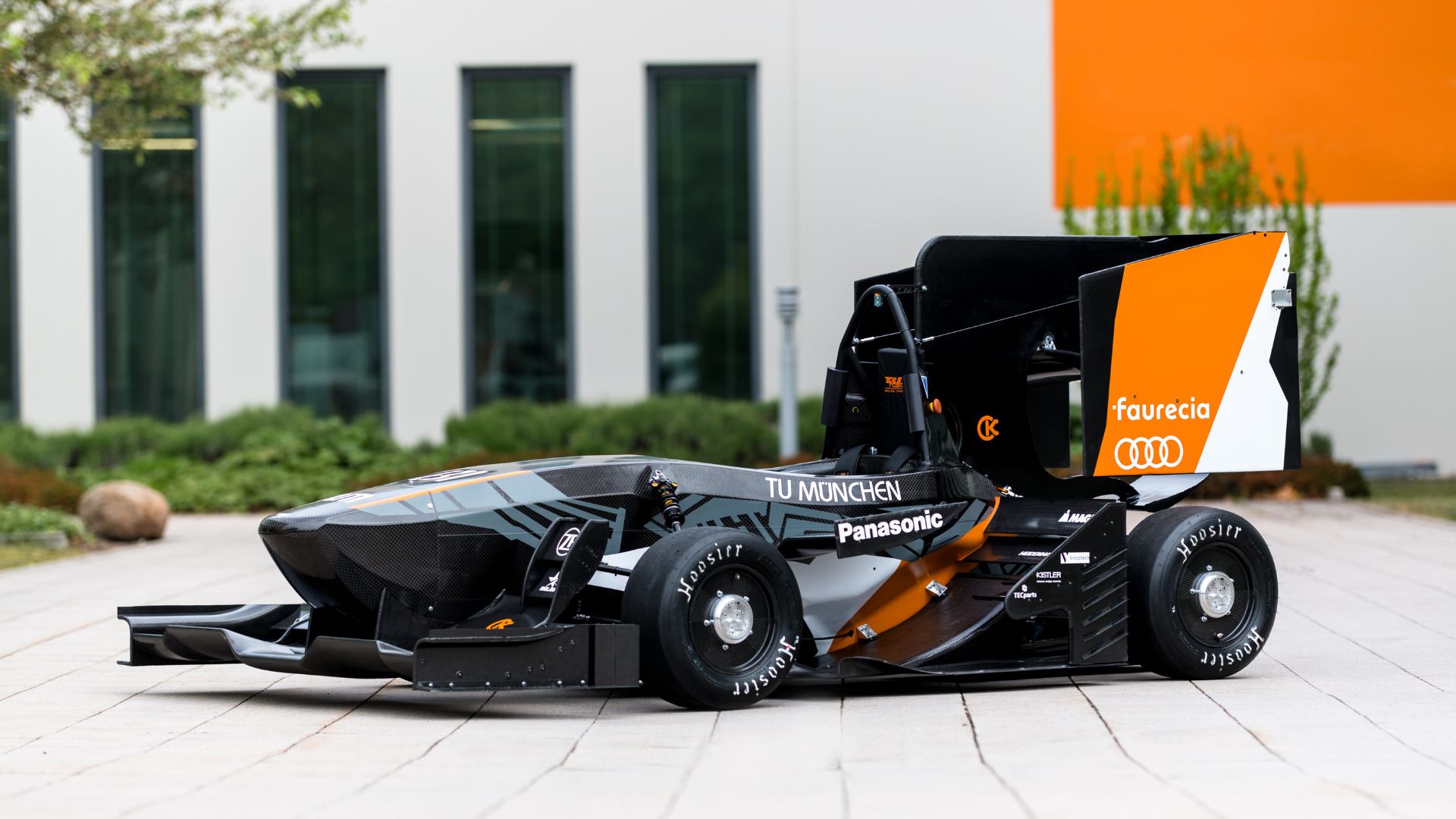
Formula Student electric racing car
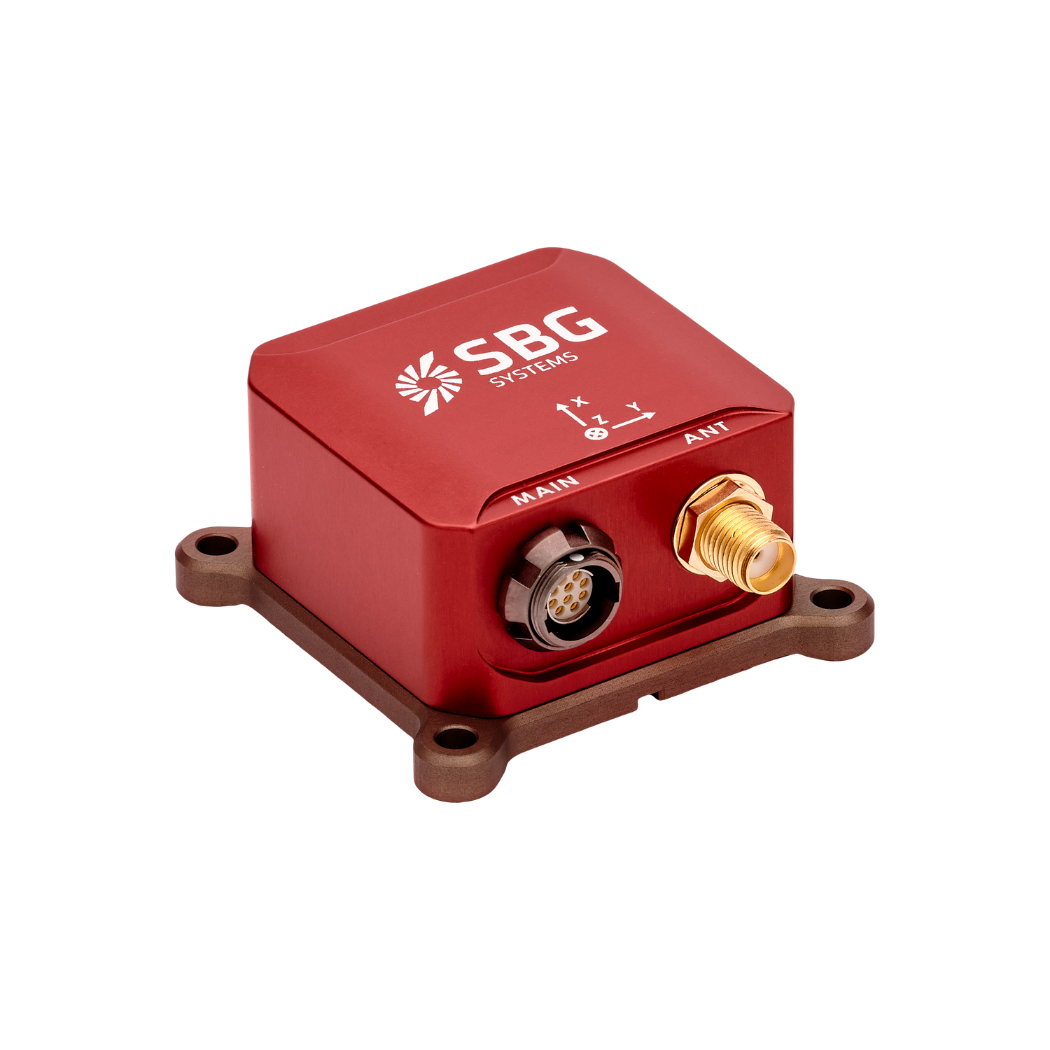
TUfast team to equip their Electric racing car with the Ellipse2-N miniature INS/GNSS for dynamics analysis.
“The Ellipse-N was a very decisive factor in our very successful 2018 car (1st place at autocross in UK, Germany and Spain; 1st place overall in Australia).” | Alexandre K., Vehicle Dynamics TU FAST Team
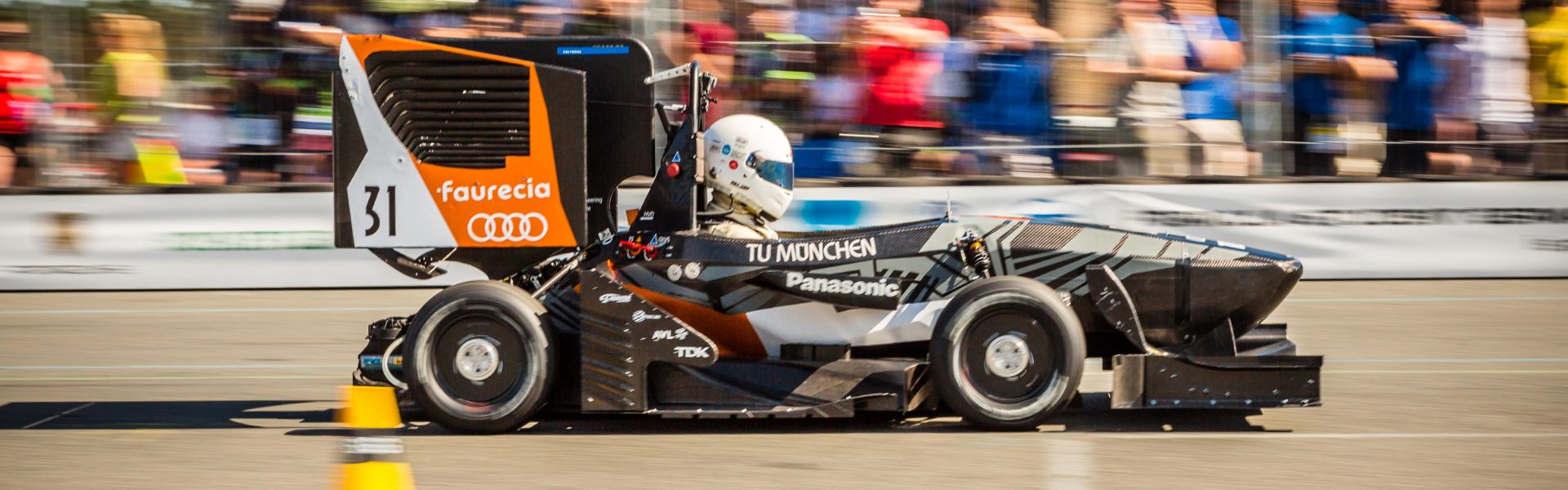
TUfast at the Formula Student Electric
The Formula SAE was founded in 1979 by professors in the United States, and came to Europe in 1999. The project aims to let students challenge themselves, test their abilities, and learn how to work on a huge project in a team.
The competition has welcome the Electric category a few years ago and TUfast competes with its electric car named “eb018” which embeds the Ellipse2-N, a miniature Inertial Navigation System from SBG Systems.
Vehicle dynamics
The Ellipse2-N INS/GNSS has been installed on the eb018. The IMU and GPS speed are the main sources of the filter the team used to estimate the state of the vehicle (Speed, Slip angle, X and Y accelerations and Yaw Rate).
This state has been then compared to a desired state to generate the command of each motor. The Ellipse2-N was therefore a very decisive factor in the TUfast very successful 2018 car (1st place at autocross in UK, Germany and Spain; 1st place overall in Australia).
Tire analysis
The GPS positions were extensively used for analysis. The team generated many maps to understand more intuitively all phenomenon influencing eb018’s performance. A very insightful example is the track map below. It shows an internal correction factor in our Kalman filter.

We learn with it that our tire model overestimates longitudinal tire forces (blue/green in straights) and has a rather good estimation of the lateral forces (orange/yellow in corners).
Ellipse-N use in the 2019 Car
The Ellipse and its software were great to work with and easy to configure. The documentation contains everything we needed to get started and develop the interface with our system.
The data provided by the Ellipse is accurate and has shown at some moment less than 10cm of error on 1km+ trips. We are very satisfied with this product explains Alexandre Kopp in charge of Vehicle Dynamics at TUfast Team.
On eb019, we will exploit the potential of the Ellipse2-N even more. We will use 2 Kalman filters; one for the main state (as on eb018); and a second one to filter the sensors and data fed to the physical model of the main filter.
The main filter will also be improved with a position and heading estimation. The Ellipse2-N thus remains the most important sensor of our car for the state estimation. Its integrated Kalman filter will be especially useful on eb019 with accurate estimations of the roll, pitch and yaw angles.
These three are necessary for the aero forces’ calculations.
Ellipse-N
Ellipse-N is a compact and high-performance RTK Inertial Navigation System (INS) with an integrated Dual band, Quad Constellations GNSS receiver. It provides roll, pitch, heading, and heave, as well as a centimetric GNSS position.
Ellipse-N sensor is best suited for dynamic environments, and harsh GNSS conditions, but can also operate in lower dynamic applications with a magnetic heading.
Ask a quotation for Ellipse-N
Do you have questions?
Welcome to our FAQ section! Here, you’ll find answers to the most common questions about the applications we showcase. If you don’t find what you’re looking for, feel free to contact us directly!
What is GNSS vs GPS?
GNSS stands for Global Navigation Satellite System and GPS for Global Positioning System. These terms are often used interchangeably, but they refer to different concepts within satellite-based navigation systems.
GNSS is a collective term for all satellite navigation systems, while GPS refers specifically to the U.S. system. It includes multiple systems that provide more comprehensive global coverage, while GPS is just one of those systems.
You get improved accuracy and reliability with GNSS, by integrating data from multiple systems, whereas GPS alone might have limitations depending on satellite availability and environmental conditions.
GNSS represents the broader category of satellite navigation systems, including GPS and other systems, while GPS is a specific GNSS developed by the United States.
What is the difference between AHRS and INS?
The main difference between an Attitude and Heading Reference System (AHRS) and an Inertial Navigation System (INS) lies in their functionality and the scope of the data they provide.
AHRS provides orientation information—specifically, the attitude (pitch, roll) and heading (yaw) of a vehicle or device. It typically uses a combination of sensors, including gyroscopes, accelerometers, and magnetometers, to calculate and stabilize the orientation. The AHRS outputs the angular position in three axes (pitch, roll, and yaw), allowing a system to understand its orientation in space. It is often used in aviation, UAVs, robotics, and marine systems to provide accurate attitude and heading data, which is critical for vehicle control and stabilization.
A INS not only provides orientation data (like an AHRS) but also tracks a vehicle’s position, velocity, and acceleration over time. It uses inertial sensors to estimate movement in 3D space without relying on external references like GNSS. It combines the sensors found in AHRS (gyroscopes, accelerometers) but may also include more advanced algorithms for position and velocity tracking, often integrating with external data like GNSS for enhanced accuracy.
In summary, AHRS focuses on orientation (attitude and heading), while INS provides a full suite of navigational data, including position, velocity, and orientation.
What is the difference between IMU and INS?
The difference between an Inertial Measurement Unit (IMU) and an Inertial Navigation System (INS) lies in their functionality and complexity.
An IMU (inertial measuring unit) provides raw data on the vehicle’s linear acceleration and angular velocity, measured by accelerometers and gyroscopes. It supplies information on roll, pitch, yaw, and motion, but does not compute position or navigation data. The IMU is specifically designed to relay essential data about movement and orientation for external processing to determine position or velocity.
On the other hand, an INS (inertial navigation system) combines IMU data with advanced algorithms to calculate a vehicle’s position, velocity, and orientation over time. It incorporates navigation algorithms like Kalman filtering for sensor fusion and integration. An INS supplies real-time navigation data, including position, velocity, and orientation, without relying on external positioning systems like GNSS.
This navigation system is typically utilized in applications that require comprehensive navigation solutions, particularly in GNSS-denied environments, such as military UAVs, ships, and submarines.
Does INS accept inputs from external aiding sensors?
Inertial Navigation Systems from our company accept inputs from external aiding sensors, such as air data sensors, magnetometers, Odometers, DVL and other.
This integration makes the INS highly versatile and reliable, especially in GNSS-denied environments.
These external sensors enhance the overall performance and accuracy of the INS by providing complementary data.
