Bike speed world record beaten
Ellipse-N Used To Position the Official Chronometer Cells.
“The best INS we could find on the market was the Ellipse-N from SBG SYSTEMS. The Ellipse-N had to give a high level of accuracy for the computed position, the 3D speed, accelerations, and Euler angles. The recorded results gave us a detailed vision of the behavior of the bike during the run.” | Mr. Amerigo, Funder of Enginova

In 2000, Eric Barone was the first man to set forth from the legendary KL slope in Vars (alps), setting up a world record at a speed of 222.22 km/h.
On March 28th, 2015 at 7:30 am, despite inauspicious weather conditions, Eric Barone beat his own World Speed record on bike, at 223,30 km/h!
A cold and windy day to beat the bike speed world record
At 7:30 am, from the top of the famous KL slope of Vars named “Chabrieres”, Eric Barone sets forth.
Gusts of wind make it hard to keep the bike in its departure position. Windchill hits -20°c on this Saturday morning when Eric Barone takes the track against a blowing wind.
Needless to say, the weather conditions were far from being ideal, but Eric successfully rode his bike and kept it rolling all the way down.
During the last 500 m, Eric managed to balance his trajectory, making the most of his powerful, tailor-made bike, and broke his own speed world record: 223.30 km/h.

With more than twenty years of experience in project steering and research in the extreme sports industry (high speed sailing, mountain bike, motor sports, etc), Enginova played a major role in this achievement by mixing a prototype and a standard bike.
In order to reach the highest speed, the design of the bike skeleton was based on aeronautic theories by gathering engineering calculations, realizing carbon fairings, and performing tests in a wind tunnel.
The slope has been optimized too for obtaining a straight path.
Ellipse-N used to position the official chronometer cells
On this kind of world record attempt, the main difficulty is to calculate the position, along the full track, where the highest speed will be achieved by Eric, without having made any run from the top of the slope.
This key point was solved by using the Ellipse-N.
The Ellipse-N is a miniature inertial navigation system with embedded GNSS receiver. Mounted on the bike, the Ellipse-N delivered the full behavior of the machine at lower speeds (180 kph starting at half of the track).
The results were used to compare and tune the speed simulator software.
From these “low speed” recordings, ENGINOVA engineers were able to extrapolate where the highest speed should be achieved, in order to position the official chronometer cells (100 m between the 2 cells).

“During this long-term successful project, SBG SYSTEMS Research and Support engineers have shown a high level of involvement, helping us to tune our monitoring measurement chain, and analyze the results. This teamwork helped us a lot in reaching our ultimate goal. A really good work!” | Mr. Amerigo, Enginova
Ellipse-N, the best INS for such harsh conditions
The best INS we could find on the market was Ellipse-N from SBG Systems. Ellipse-N had to give a high level of accuracy for the computed position, the 3D speed, accelerations, and Euler angles. The recorded results gave us a detailed vision of the behavior of the bike during the run.
The sbgCenter software helped us to compare these recorded informations with the high frequency images that were shot during the run. Amazing and very efficient combination!” states Mr. Amerigo, funder of Enginova.
Another key point in Enginova’s choice has been the IP class and the operating temperature range, a crucial point when working at 2,700 m altitude. With its IP68 enclosure and its temperature calibration from – 40 to + 85°C, Ellipse-N was beyond requirements and worked perfectly under these harsh conditions.


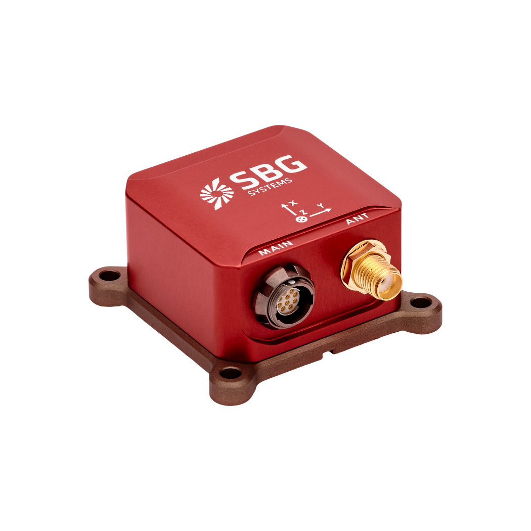
Ellipse-N
Ellipse-N is a compact and high-performance RTK Inertial Navigation System (INS) with an integrated Dual band, Quad Constellations GNSS receiver. It provides roll, pitch, heading, and heave, as well as a centimetric GNSS position.
Ellipse-N sensor is best suited for dynamic environments, and harsh GNSS conditions, but can also operate in lower dynamic applications with a magnetic heading.
Ask a quotation for Ellipse-N
Do you have questions?
Welcome to our FAQ section! Here, you’ll find answers to the most frequent questions about the applications we showcase. If you don’t find what you’re looking for, feel free to contact us directly!
What is GNSS vs GPS?
GNSS stands for Global Navigation Satellite System and GPS for Global Positioning System. These terms are often used interchangeably, but they refer to different concepts within satellite-based navigation systems.
GNSS is a collective term for all satellite navigation systems, while GPS refers specifically to the U.S. system. It includes multiple systems that provide more comprehensive global coverage, while GPS is just one of those systems.
You get improved accuracy and reliability with GNSS, by integrating data from multiple systems, whereas GPS alone might have limitations depending on satellite availability and environmental conditions.
What is GNSS post-processing?
GNSS post-processing, or PPK, is an approach where the raw GNSS data measurements logged on a GNSS receiver are processed after the data acquisition activity. They can be combined with other sources of GNSS measurements to provide the most complete and accurate kinematic trajectory for that GNSS receiver, even in the most challenging environments.
These other sources can be local GNSS base station at or near the data acquisition project, or existing continuously operating reference stations (CORS) typically offered by governmental agencies and/or commercial CORS network providers.
A Post-Processing Kinematic (PPK) software can make use of freely available GNSS satellite orbit and clock information, to help further improve the accuracy. PPK allow for precise determination of a local GNSS base station’s location in an absolute global coordinate reference frame datum, which is used.
PPK software can also support complex transformations between different coordinate reference frames in support of engineering projects.
In other words, it gives access to corrections, enhances the project’s accuracy, and can even repair data losses or errors during the survey or installation after the mission.
What is Precise Point Positioning?
Precise Point Positioning (PPP) is a satellite navigation technique that offers high-precision positioning by correcting satellite signal errors. Unlike traditional GNSS methods, which often rely on ground-based reference stations (like in RTK), PPP utilizes global satellite data and advanced algorithms to provide accurate location information.
PPP works anywhere in the world without the need for local reference stations. This makes it suitable for applications in remote or challenging environments where ground infrastructure is lacking. By using precise satellite orbit and clock data, along with corrections for atmospheric and multipath effects, PPP minimizes common GNSS errors and can achieve centimeter-level accuracy.
While PPP can be used for post-processed positioning, which involves analyzing collected data after the fact, it can also provide real-time positioning solutions. Real-time PPP (RTPPP) is increasingly available, allowing users to receive corrections and determine their position in real time.
