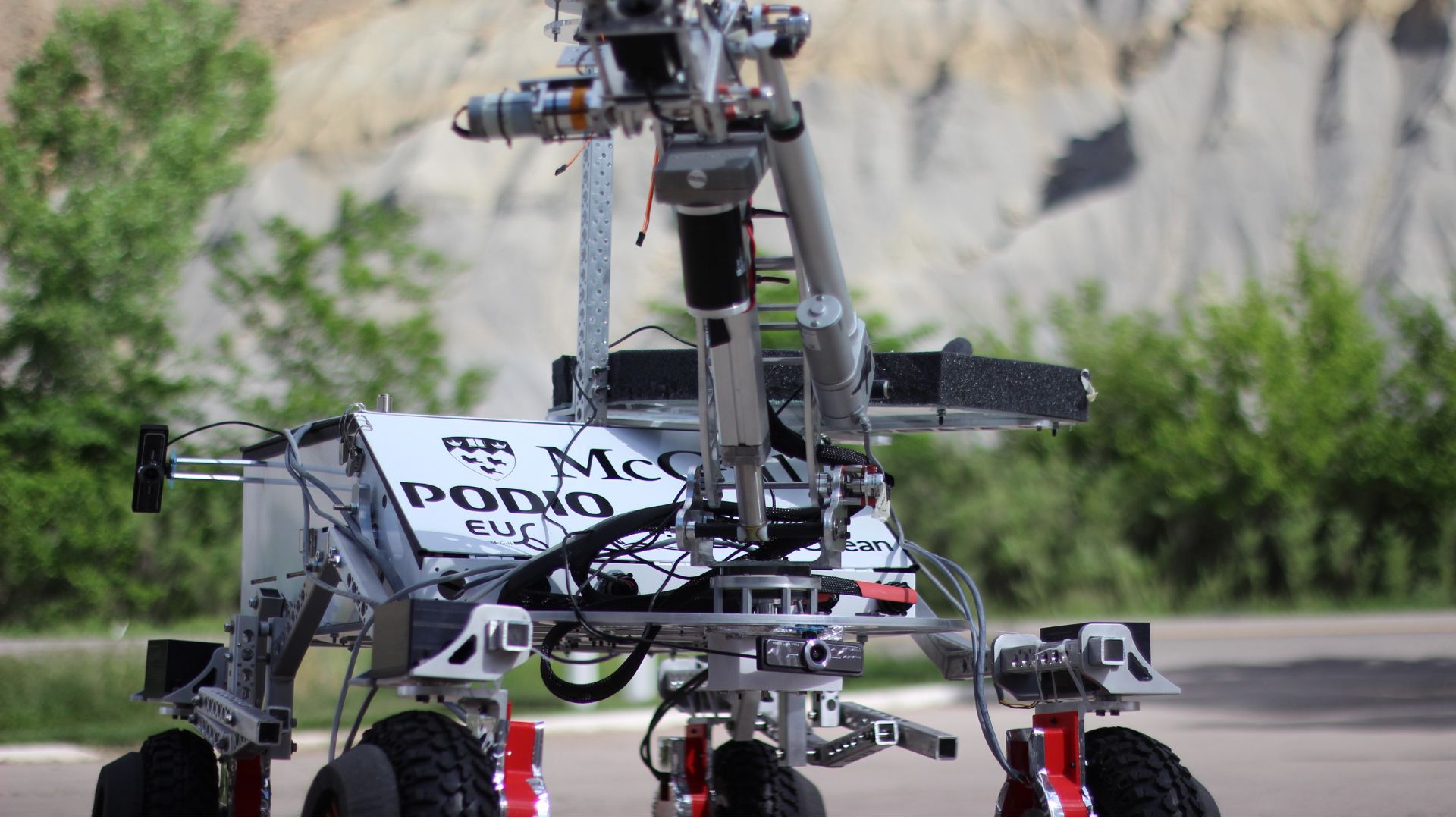
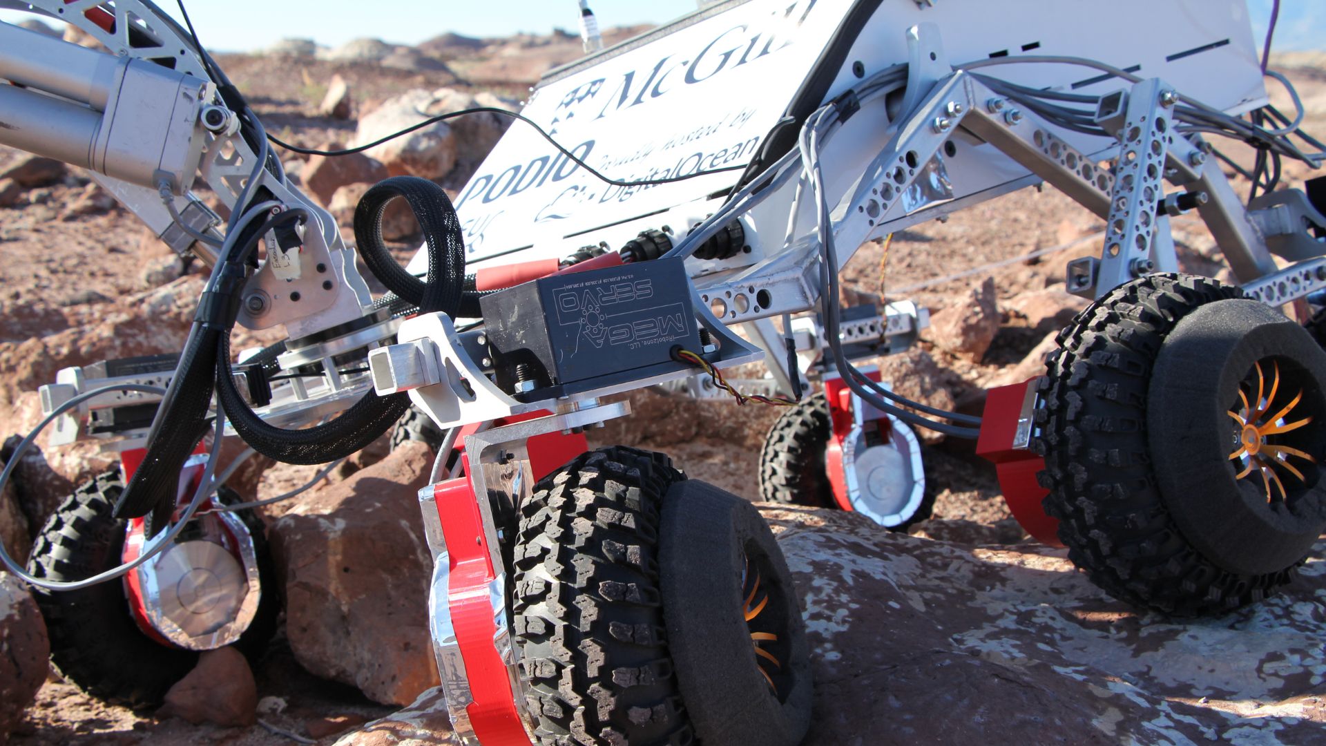
Mars Rover UGV with Ellipse-N
Mc Gills semi-autonomous Mars Rover integrates an SBG miniature INS/GNSS for Autonomous Navigation.
“The device allowed us to immobilize ourselves 20 centimeters away for the last waypoint, after over 500 meters of blind navigation, which had never been accomplished before at the competition.” | The McGill Robotics team
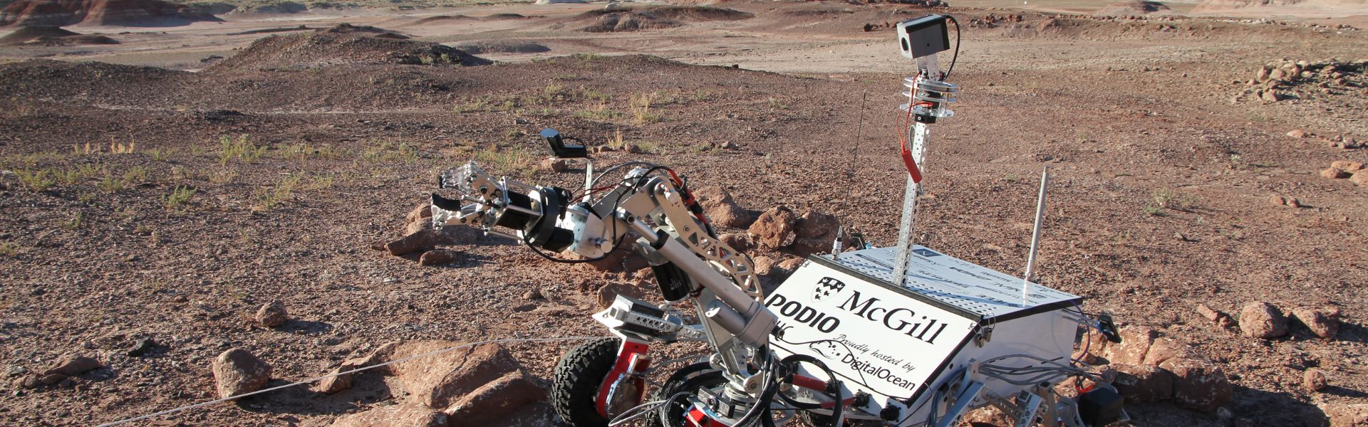
The Mars Rover Project
The McGill Robotics team designed the robot to participate in two international competitions which required every team to operate their rover, from a hidden control center, in a Mars-like desert environment through various runs to accomplish complex tasks.
These tasks involved traversing rough terrains, carrying payload to remote locations, servicing a complex control panel, and analyzing collected soil samples.
During every run, the teams were expected to wirelessly operate their rovers on more than 1 kilometer and continuously rely on sensor feedback provided by the onboard IMUs, GPS, cameras, and scientific instruments.
Best Run for the Blind Navigation Task
The acquisition of the SBG Systems’ IG-500N between the two competitions was paramount in the team’s success at ERC. The precision of the IG-500N singlehandedly allowed us to score highest for the blind navigation task, in which we are meant to navigate to GPS coordinates in a hard terrain without using cameras.
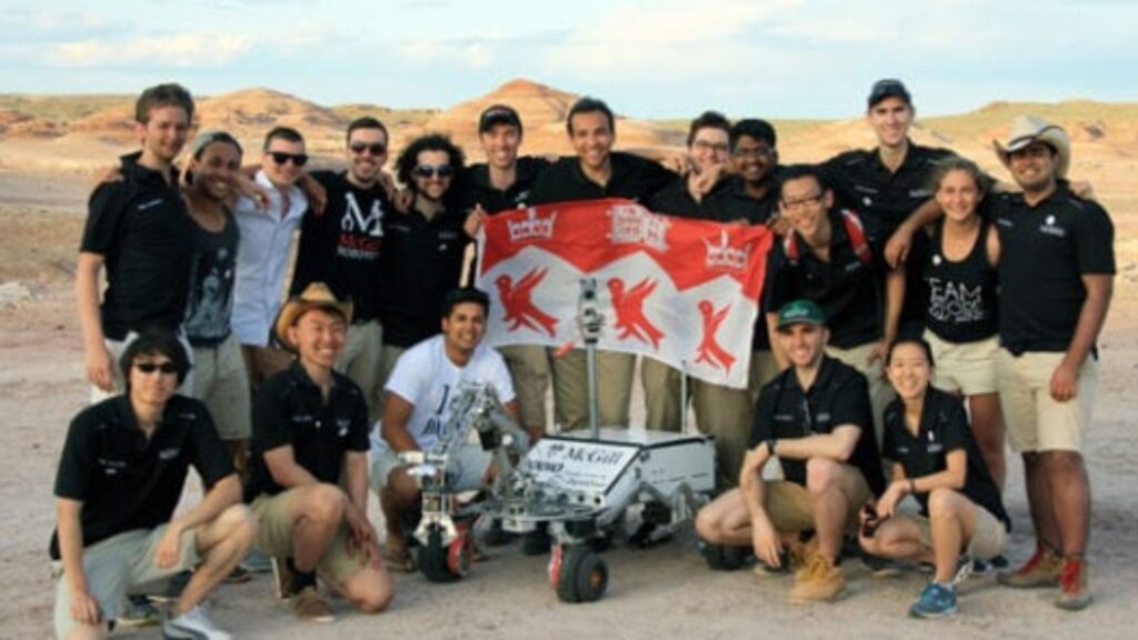
The device allowed us to immobilize ourselves 20 centimeters away for the last waypoint, after over 500 meters of blind navigation, which had never been accomplished before at the competition.
Easy Integration
The Mc Gills effectively integrated the sbgCom library distributed with the IG-500N in their software architecture with a C++ wrapper.
They used the initialisation function in the constructor of the class and implemented the callback functions for thread-safe operation, so as to keep receiving updates from the device in continuous mode without interrupting the transmission process to the rest of the system.
This was then used in the creation of a ROS publisher. The quality of the library’s implementation and interface design made this whole process very user-friendly and quite easy.
“We are immensely grateful to SBG Systems, as our distinguished achievements at the European Rover Challenge would undoubtedly not have been possible without SBG Systems’ exceptional assistance.” | The McGill Robotics team
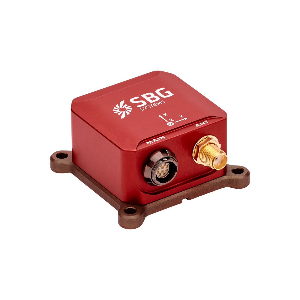
Ellipse-N
Ellipse-N is a compact and high-performance RTK Inertial Navigation System (INS) with an integrated Dual band, Quad Constellations GNSS receiver. It provides roll, pitch, heading, and heave, as well as a centimetric GNSS position.
Ellipse-N sensor is best suited for dynamic environments, and harsh GNSS conditions, but can also operate in lower dynamic applications with a magnetic heading.
Ask a quotation for Ellipse N
Do you have questions?
Welcome to our FAQ section! Here, you’ll find answers to the most common questions about the applications we showcase. If you don’t find what you’re looking for, feel free to contact us directly!
What is a payload?
A payload refers to any equipment, device, or material that a vehicle (drone, vessel …) carries to perform its intended purpose beyond the basic functions. The payload is separate from the components required for the vehicle operation, such as its motors, battery, and frame.
Examples of Payloads:
- Cameras: high-resolution cameras, thermal imaging cameras…
- Sensors: LiDAR, hyperspectral sensors, chemical sensors…
- Communication equipment: radios, signal repeaters…
- Scientific instruments: weather sensors, air samplers…
- Other specialized equipment
Does INS accept inputs from external aiding sensors?
Inertial Navigation Systems from our company accept inputs from external aiding sensors, such as air data sensors, magnetometers, Odometers, DVL and other.
This integration makes the INS highly versatile and reliable, especially in GNSS-denied environments.
These external sensors enhance the overall performance and accuracy of the INS by providing complementary data.
What is the difference between IMU and INS?
The difference between an Inertial Measurement Unit (IMU) and an Inertial Navigation System (INS) lies in their functionality and complexity.
An IMU (inertial measuring unit) provides raw data on the vehicle’s linear acceleration and angular velocity, measured by accelerometers and gyroscopes. It supplies information on roll, pitch, yaw, and motion, but does not compute position or navigation data. The IMU is specifically designed to relay essential data about movement and orientation for external processing to determine position or velocity.
On the other hand, an INS (inertial navigation system) combines IMU data with advanced algorithms to calculate a vehicle’s position, velocity, and orientation over time. It incorporates navigation algorithms like Kalman filtering for sensor fusion and integration. An INS supplies real-time navigation data, including position, velocity, and orientation, without relying on external positioning systems like GNSS.
This navigation system is typically utilized in applications that require comprehensive navigation solutions, particularly in GNSS-denied environments, such as military UAVs, ships, and submarines.
