Enhancing precision in complex environments
While Direct Georeferencing (DG) is the primary method for producing maps in outdoor environments, it is rarely used indoors or in highly GNSS-challenged environments. DG works by combining INS data (position and attitude) with sensor data (such as LiDAR or camera imagery) to accurately determine the position of observed objects without relying on numerous pre-surveyed Ground Control Points (GCPs).
However, because GNSS is unavailable indoors, traditional direct georeferencing cannot be applied in fully enclosed spaces. In many cases, mapping is conducted in a hybrid fashion, covering both indoor and outdoor environments.
While most people rely on conventional indoor mapping technologies for such scenarios, selecting the right INS and post-processing software can extend the benefits of Direct Georeferencing to these use cases. By integrating a high-precision, low-drift INS with advanced post-processing software, it is possible to maintain an accurate, directly georeferenced solution over extended durations. Perception-based algorithms like SLAM can directly use this precise positioning to further improve mapping accuracy.
This approach enables the creation of indoor maps that are fully aligned with an absolute positioning solution and coordinate reference frame (datum). As a result, workflows are enhanced, and collaborative efforts are improved by ensuring spatial consistency across indoor and outdoor datasets.
Inertial systems for indoor mapping solutions
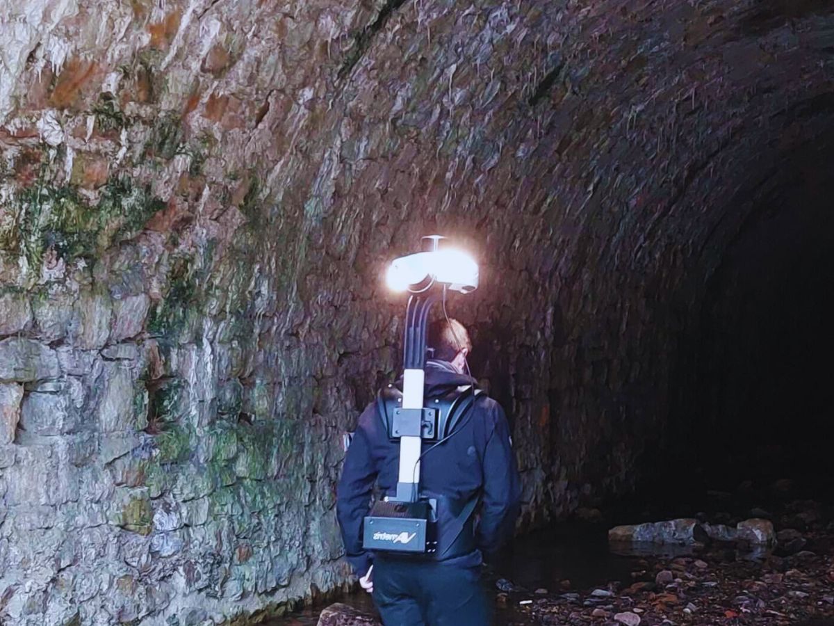
In fully indoor environments where GNSS is unavailable, mapping relies on Inertial Measurement Units (IMUs) combined with perception-based algorithms such as Simultaneous Localization and Mapping (SLAM). Unlike traditional direct georeferencing, this approach does not depend on GNSS but instead uses IMU data alongside LiDAR, cameras, or depth sensors to maintain accurate positioning.
SLAM works by continuously mapping the environment while simultaneously estimating the system’s position within it. However, SLAM alone can suffer from drift, especially in feature-poor areas or dynamic environments. High-end IMUs play a crucial role in stabilizing SLAM-based mapping, ensuring consistent motion tracking even when visual inputs are unreliable. By integrating a high-precision, low-drift IMU, it is possible to improve SLAM performance in indoor mapping applications.
Indeed, IMU will reduce the drift accumulation, maintaining accurate positioning over longer durations, and improve the reliability in low-visibility conditions, such as dark rooms or featureless hallways. This combination enables the creation of accurate indoor maps that remain spatially consistent and well-aligned with external datasets.
As a result, workflows are streamlined, and collaborative mapping efforts are improved, even in fully GNSS-denied environments.
Our solutions for indoor mapping
Our motion and navigation products are designed to integrate seamlessly with indoor mapping systems. Our state-of-the-art inertial systems provide the accuracy and reliability needed to produce high-quality indoor maps, even in the most challenging environments.
Whether you are using mobile robots or portable systems for indoor mapping, our products offer the precision and performance and workflow needed to produce accurate maps.
Our systems are ideal for a range of applications, including industrial inspections, facility management, emergency response, and more.
Quanta Plus

Qinertia GNSS-INS
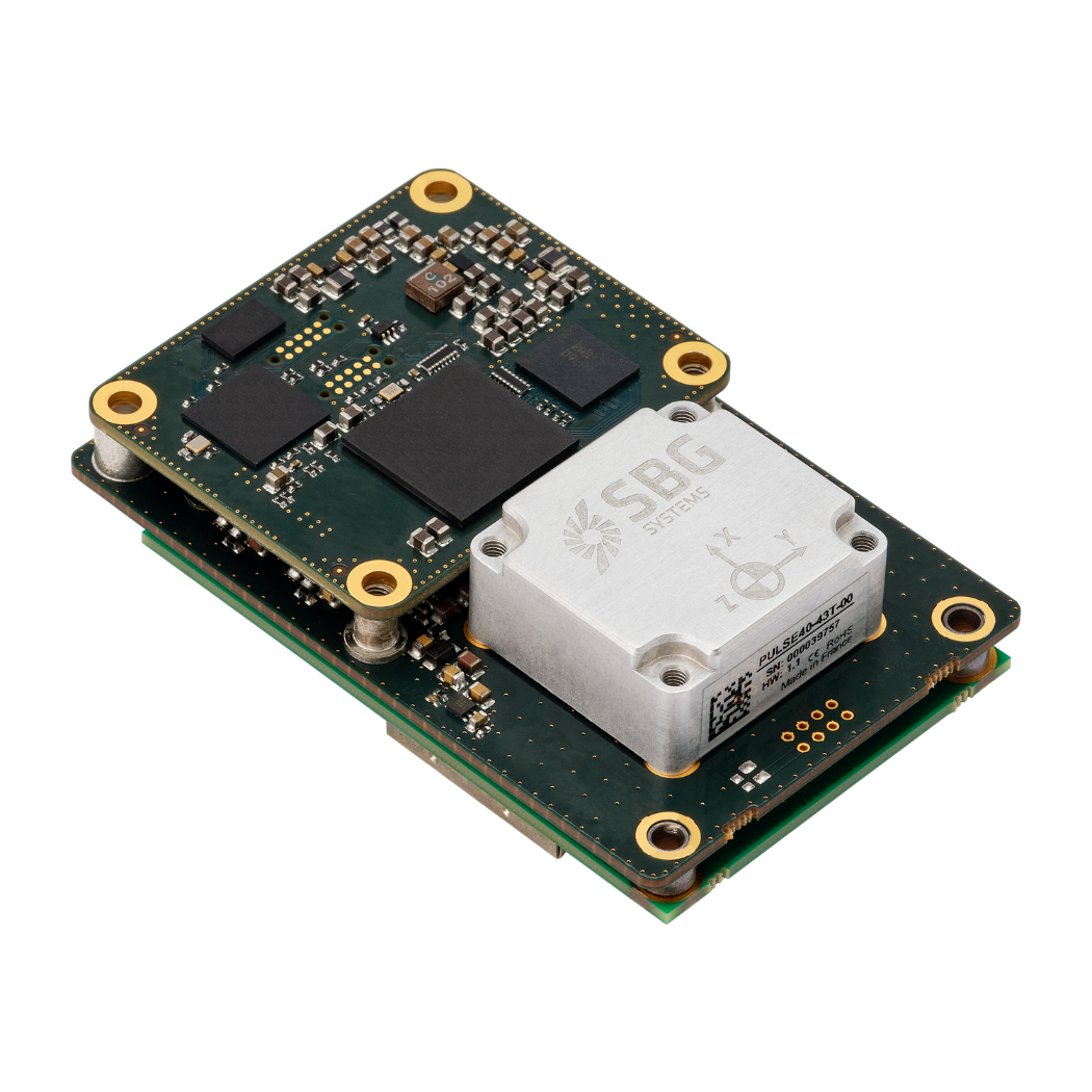
Pulse-40
Mapping applications brochure
Get our brochure delivered straight to your inbox!
Case studies
Explore our case studies to see how our inertial solutions have been successfully integrated into various indoor mapping applications around the world.
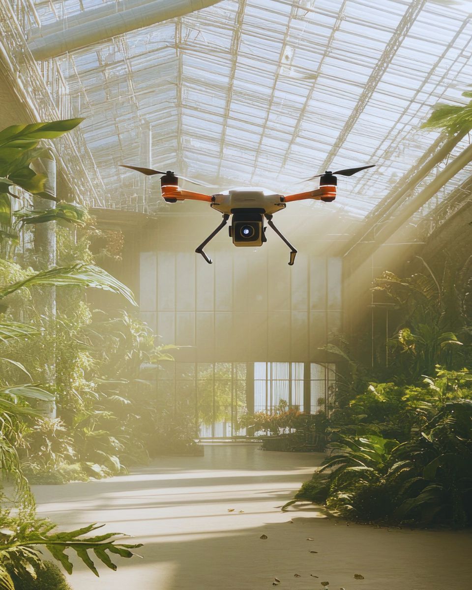
From warehouse robots navigating complex facilities to drones producing accurate 3D indoor maps of indoor spaces, our products have been instrumental in improving the efficiency and accuracy of mapping projects.
See real-world examples of our systems in action. Read our case studies to understand how SBG Systems can bring precision and reliability to your indoor mapping solutions.
They talk about us
Our clients range from industrial manufacturers to emergency response teams, and they rely on our inertial systems to produce accurate, reliable maps in GNSS-denied environments.
Join the ranks of our satisfied clients and learn more about how we can support your indoor mapping needs with our industry-leading solutions.
Do you have questions?
Curious about how indoor mapping systems work? Want to know more about how inertial systems contribute to accurate mapping in GNSS-denied environments?
Our FAQ section covers the most common questions about indoor mapping systems, including information about the technologies involved, best practices, and how to integrate our products into your solutions.
What is an indoor positioning system?
An Indoor Positioning System (IPS) is a specialized technology that accurately identifies the locations of objects or individuals within enclosed spaces, such as buildings, where GNSS signals may be weak or non-existent. IPS employs various techniques to deliver precise positioning information in settings like shopping malls, airports, hospitals, and warehouses.
IPS can leverage several technologies for location determination, including:
- Wi-Fi: Utilizes signal strength and triangulation from multiple access points for position estimation.
- Bluetooth Low Energy (BLE): Employs beacons that send signals to nearby devices for tracking.
- Ultrasound: Uses sound waves for accurate location detection, often with mobile device sensors.
- RFID (Radio-Frequency Identification): Involves tags placed on items for real-time tracking.
- Inertial Measurement Units (IMUs): These sensors monitor motion and orientation, enhancing positional accuracy when combined with other methods.
A detailed digital map of the indoor space is essential for accurate positioning, while mobile devices or specialized equipment collect signals from the positioning infrastructure.
IPS enhances navigation, tracks assets, assists emergency services, analyzes retail behavior, and integrates into smart building systems, significantly improving operational efficiency where traditional GNSS fails.
What is SLAM?
SLAM, which stands for Simultaneous Localization and Mapping, is a computational technique used in robotics and computer vision to build a map of an unknown environment while simultaneously keeping track of an agent’s location within that environment. This is particularly useful in scenarios where GNSS is unavailable, such as indoors or in dense urban areas.
SLAM systems determine the agent’s position and orientation in real-time. This involves tracking the movement of the robot or device as it navigates through the environment. While the agent moves, the SLAM system creates a map of the environment. This can be a 2D or 3D representation, capturing the layout, obstacles, and features of the surroundings.
These systems often utilize multiple sensors, such as cameras, LiDAR, or inertial measurement units (IMUs), to gather data about the environment. This data is combined to improve the accuracy of both localization and mapping.
SLAM algorithms process the incoming data to update the map and the agent’s location continuously. This involves complex mathematical computations, including filtering and optimization techniques.
What is photogrammetry?
Photogrammetry is the science and technique of using photographs to measure and map distances, dimensions, and features of objects or environments. By analyzing overlapping images taken from different angles, photogrammetry allows for the creation of accurate 3D models, maps, or measurements. This process works by identifying common points in multiple photographs and calculating their positions in space, using principles of triangulation.
Photogrammetry is widely used in various fields, such as:
- Photogrammetry topographic mapping: Creating 3D maps of landscapes and urban areas.
- Architecture and engineering: For building documentation and structural analysis.
- Photogrammetry in archaeology: Documenting and reconstructing sites and artifacts.
- Aerial photogrammetry surveying: For land measurement and construction planning.
- Forestry and agriculture: Monitoring crops, forests, and land use changes.
When photogrammetry is combined with modern drones or UAVs (unmanned aerial vehicles), it enables the rapid collection of aerial images, making it an efficient tool for large-scale surveying, construction, and environmental monitoring projects.
What is a LiDAR?
A LiDAR (Light Detection and Ranging) is a remote sensing technology that uses laser light to measure distances to objects or surfaces. By emitting laser pulses and measuring the time it takes for the light to return after hitting a target, LiDAR can generate precise, three-dimensional information about the shape and characteristics of the environment. It is commonly used to create high-resolution 3D maps of the Earth’s surface, structures, and vegetation.
LiDAR systems are widely utilized in various industries, including:
- Topographic mapping: To measure landscapes, forests, and urban environments.
- Autonomous Lidar vehicles: For navigation and obstacle detection.
- Agriculture: To monitor crops and field conditions.
- Environmental monitoring: For flood modeling, coastline erosion, and more.
LiDAR sensors can be mounted on drones, airplanes, or vehicles, enabling rapid data collection over large areas. The technology is prized for its ability to provide detailed, accurate measurements even in challenging environments, such as dense forests or rugged terrains.
