
They trust us!
These organizations, spanning diverse industries, share our vision for excellence and innovation.


Our inertial sensors power your applications
Our solutions rely on decades of expertise in sensor design and navigation algorithms.
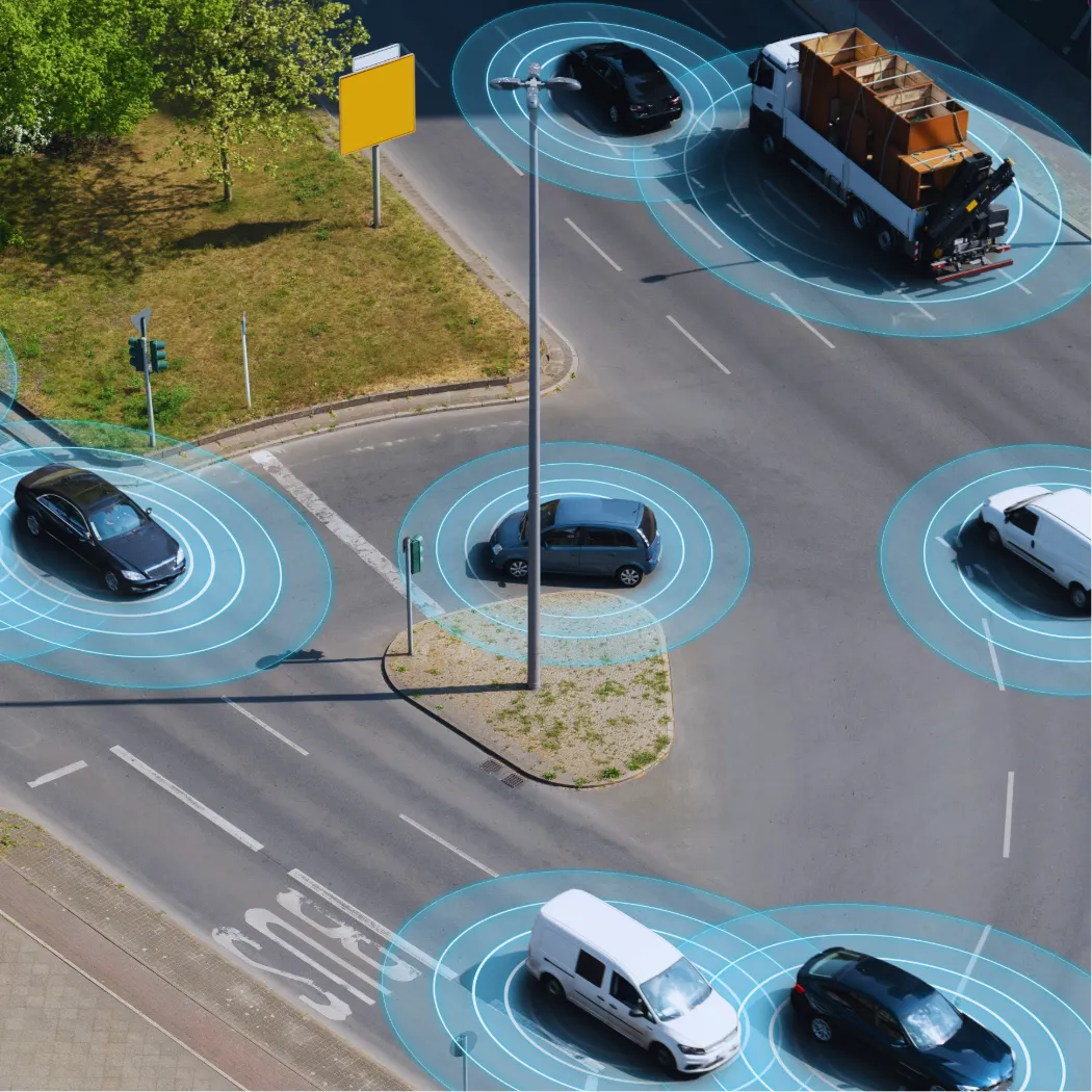
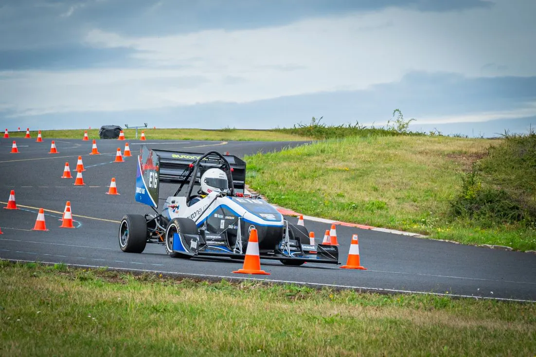
Vehicles
Our inertial navigation systems are a cornerstone of modern autonomous vehicle technologies, enabling accurate navigation and control even in challenging environments like tunnels, urban canyons, or GNSS denied areas.

Discover our case studies
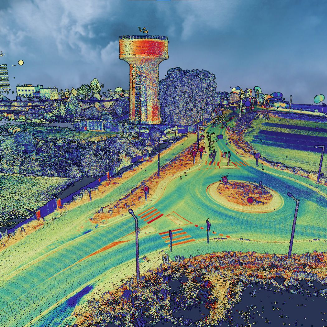
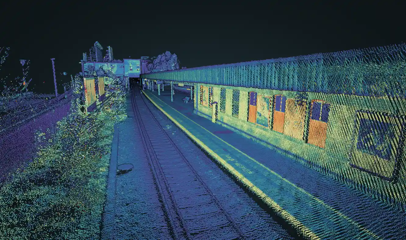
Explore how we’ve harnessed the power of inertial technology to drive innovation and solve complex challenges. Our case studies provide a deep dive into real-world applications, showcasing the versatility and impact of inertial systems across various industries. From precision navigation to cutting-edge motion tracking, discover how we’ve partnered with clients to implement groundbreaking solutions.


News
Have a look at our new products, partnerships and behind the scene achievements.
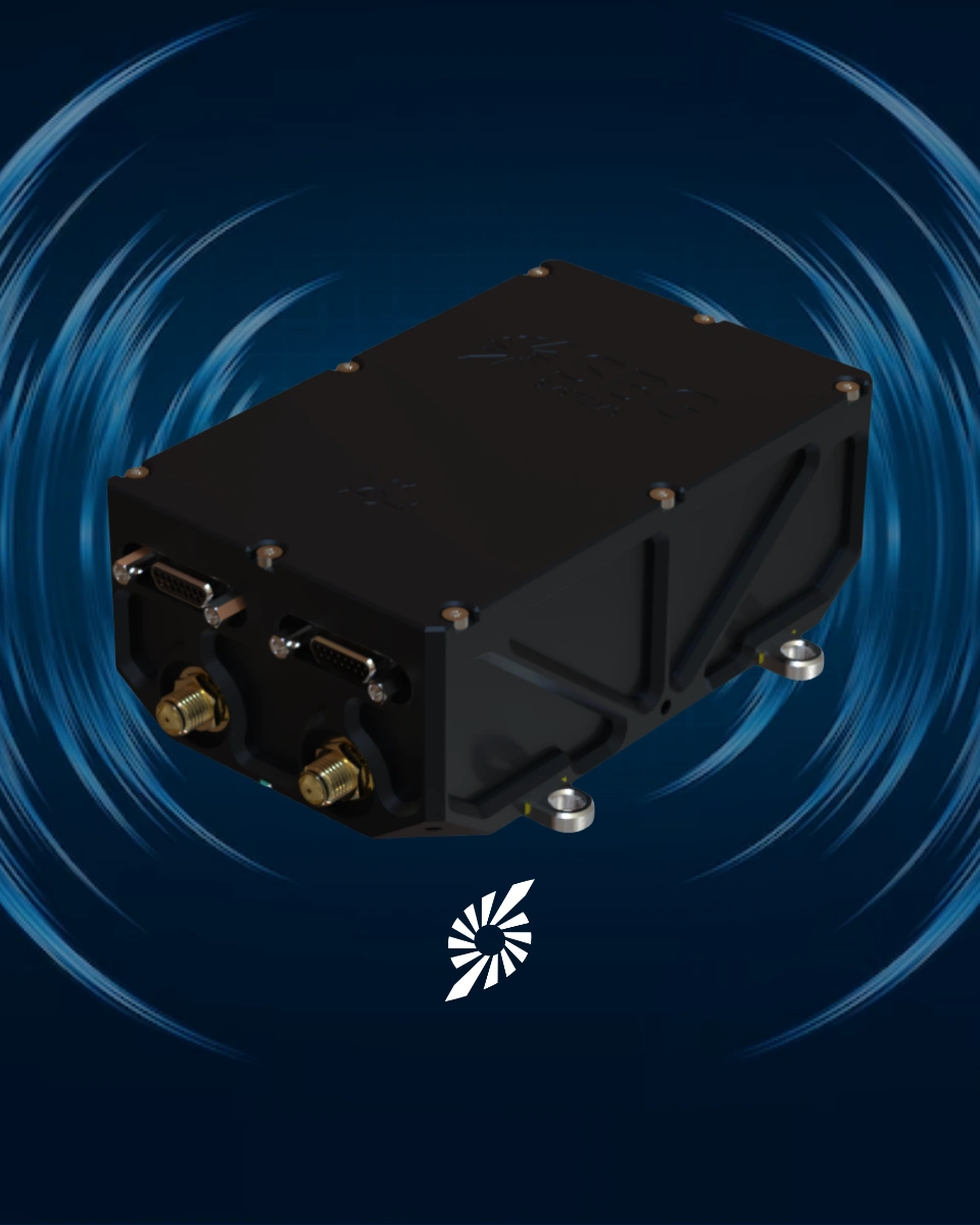
SBG Systems unveils Stellar-40, its tactical-grade resilient INS
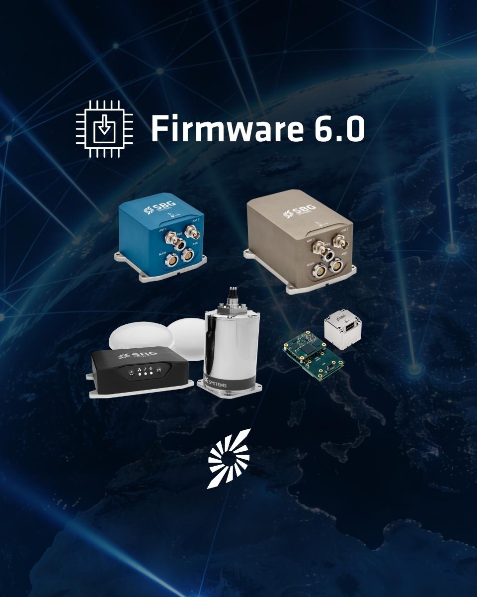
New release for our HPI product line: Firmware 6.0

Our company won the Innovation award at the MOCI Trophées
Events we attend
We look forward to meeting you at one of the upcoming events we are attending. Please let us know if you are coming so that we can give you the best possible welcome.
